Data Management
Instant synchronization between your database and GIS
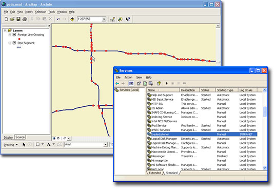
SpatialSynchronizer easily integrates PODS with Esri ArcSDE to illustrate changes in real-time. It uses the concept of dynamic segmentation to automatically place graphics at the correct geographic location based on stationing or chainage.
By spatially enabling a conventional relational PODS database with ArcSDE, a point and linear event in PODS (i.e. Pipe Segments, Valves, MAOP, etc.) becomes an ArcSDE Feature Class. As a Feature Class, PODS features can be easily viewed graphically in ArcGIS Desktop or ArcGIS Server web applications. However, it is key that the graphics stay synchronized with the features. SpatialSynchronizer provides an instant synchronization between a change to the feature and the graphic display, ensuring accuracy.
Additionally, SpatialSynchronizer provides derived layers in ArcSDE, which allows an ArcSDE feature class that contains data from multiple PODS linear feature classes to be visually displayed. It provides the ability to integrate multiple linear feature classes into a single table and be updated on the fly as data is changed.
Request a Product Demo
Request DemoDownload Product Brochure
Download
- Easily integrate PODS with Esri ArcSDE to show changes in real-time.
- Utilizes dynamic segmentation to automatically place graphics at the correct geographic latitude/longitude location based on stationing or chainage.
- Allows for a real-time graphical view of your PODS data and eliminates the problem of keeping Esri ArcSDE graphics synchronized with PODS Events.
- Provides the ability to create and maintain derived layers.
- Allows you to choose whether or not to automatically regenerate features for large tables; this in turn minimizes any performance issues due to the number of records that must be processed.
- Updates Esri ArcSDE graphic locations as data changes occur.
- Automatically refreshes graphics without user interaction.
- Creates and maintains derived layers in Esri ArcSDE to integrate multiple linear feature classes into a single table.
- Windows Server 2016
- Esri ArcSDE
- Oracle or SQL Server
- Connection to PODS
- Microsoft .NET Framework
SPATIALSYNCHRONIZER is a trademark or registered trademark of New Century Software, Inc. Third party trademarks, trade names, product names and logos may be the trademarks or registered trademarks of their respective owners.


