Data Management
Quickly build linear models
Centerline Design Toolkit is a comprehensive set of tools, which has been proven to make workflows more efficient and increase worker productivity. This easy-to-implement Esri ArcMap extension provides an extremely cost-effective way to quickly build accurate linear models. Its highly flexible design supports multiple data sources and offers a robust set of tools that perform complicated linear referencing operations. Yet, it’s easy to install and use, plus requires minimal training.
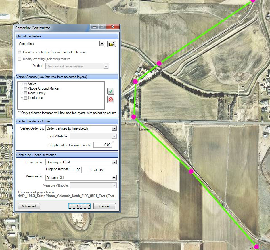
With Centerline Design Toolkit, common geo-processing workflows that used to take hours to perform, now take only minutes! For example, with just a few button clicks you can connect GPS points to create a line, assign 2D or 3D measures, and generate events with stationing. Centerline Design Toolkit not only improves GIS analyst productivity and simplifies the training process, it also simplifies centerline creation.
Request a Product Demo
Request DemoDownload Product Brochure
Download
- Simplifies the complex, multi-step linear referencing process to save users time and increase productivity.
- Obtains accurate station readouts by following the centerline with the cursor.
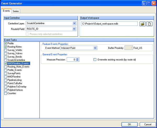
- The popular Event Generator streamlines the event creation process, which saves the user precious time and money.
- The Centerline Validator ensures centerline integrity by clearly identifying vertices with duplicate measures or x/y coordinates.
- The Symbology Manager reduces the amount of information on the map so you can focus on the data that interests you.
- Easy to learn and remember, this tool is great for “infrequent users” who do not use it every day, yet need to come up-to-speed quickly when they do use it.
- Use ArcMap graphics to display data based on selected centerline(s).
- Uses a right-click menu from the Table of Contents to view or hide specific symbolized categories.
- Creates on-the-fly centerline with stationing and measures (2D/3D).
- Provides an easy-to-read x, y, z, and measure readout.
- Includes an offset for off-centerline readings.
- Quickly locates a point on the centerline based on any station value you enter.
- Outputs to a personal or file geodatabase.
- Identifies point and line events along any centerline.
- Comes with pre-configured outputs.
- ArcGIS Desktop
- Windows 7 or Windows 10
- Windows .NET Framework
CENTERLINE DESIGN TOOLKIT is a trademark or registered trademark of New Century Software, Inc. Third party trademarks, trade names, product names and logos may be the trademarks or registered trademarks of their respective owners.


